Real estate and development
For realtors and developers
- Listing photos and video, MLS-ready
- Acreage and lot overviews with boundaries in context
- Pre-sale view shots at the height of future floors
- Neighbourhood and amenity context shots
Drone photo and video · BC
Aerial photo and video for realtors, developers and builders, from the North Shore to the Fraser Valley.
Selected work
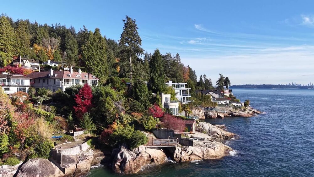
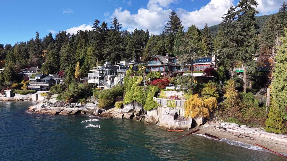
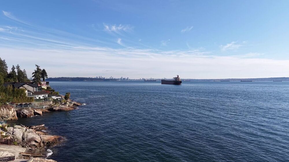
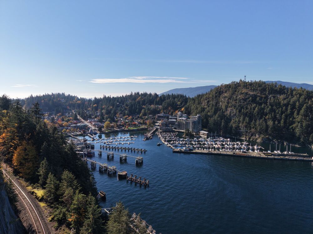
Sample flights along the North Shore coastline. The homes shown are not listings and are not for sale.
Services
Choose edited photos, a cinematic cut, vertical clips for social, or a mix.
For realtors and developers
For developers, builders and lenders
For golf courses, wineries and farms
For realtors, resorts and tourism
How it works
Share the address, the service you need and a few dates that work.
I check airspace, site access and weather before I confirm, then send a clear quote.
I shoot on the agreed date and deliver edited photos and video by download link.
About
I'm a certified drone pilot based on the North Shore, flying from the Sea-to-Sky to the Fraser Valley. I plan every flight ahead, so shoot day runs smoothly.
Request a shoot
I reply within one business day.
Request received
You'll hear from me at the email you entered.